Ask most people in Applewood how many times they have actually set foot on Applewood Golf Course, rather than just driven past its fence line on 32nd Avenue, and the answer is usually somewhere between zero and once, at a work outing they didn't organize. The course has sat in the middle of the neighborhood for decades as scenery you glimpse through a chain-link gap while waiting to turn onto Youngfield, not a place you go.
That changed this year, and not with a ribbon-cutting anyone made a fuss about. Prospect Recreation & Park District, the special district that runs parks and recreation for this unincorporated stretch of northern Jefferson County, opened a new paved route called the Applewood Trail. It starts at Maple Grove Park, wraps the eastern edge of the golf course, and ends by connecting into the Clear Creek Trail through the new Clear Creek Crossing development. The practical result is that a golf course most residents have only ever seen sideways is now something you can walk the edge of on a Tuesday evening, and a neighborhood built around cul-de-sacs and big lots is now one stitched into a trail network that runs to downtown Golden in one direction and into Wheat Ridge and Arvada in the other.
The Walk From Maple Grove Park
The route is short enough to do before dinner and specific enough that you don't need a map app to follow it. According to the district's own description of the trail:
- Start at Maple Grove Park and head east along the south side of 32nd Avenue.
- Turn north along the eastern edge of Applewood Golf Course, where the path opens up views of the fairways and the mountains behind them.
- Follow the trail east again along the 16th fairway, overlooking the Coors Brewery ponds.
- Connect into the Clear Creek Trail through the Clear Creek Crossing development.
That third bullet is the one that surprises people. Most residents know Coors as the industrial complex you see from the highway in Golden, not something visible from a walking path a few blocks from their own street. The ponds are part of the brewery's water system, and the trail's route happens to trace right along them before handing off to Clear Creek Crossing.
A Golf Course You Can Finally See Up Close
In a lot of suburban layouts, a golf course functions less like a park and more like a wall. It occupies acreage nobody but members and daily-fee golfers ever crosses, and everyone else experiences it as a green shape on a map they drive around. The Applewood Trail doesn't open the fairways themselves to foot traffic, but it does put you along the edge of them, close enough to see the 16th hole and the foothills rising behind it without paying a green fee or owning a set of clubs.
That edge access matters more this year than it might have five years ago. Prospect Recreation & Park District's spring newsletter noted new irrigation improvements underway at Applewood Golf Course, alongside the district's move to an online reservation system. Neither of those is the kind of thing that shows up on a real estate listing, but together with the new trail they point the same direction: the district is treating this course as an asset worth investing in and worth making visible, not just a private amenity tucked behind a fence.
Where the Pavement Actually Leads
The Clear Creek Trail that the Applewood Trail feeds into isn't a short spur that dead-ends at a parking lot. It's part of a paved corridor that already runs from Golden east into Wheat Ridge and Arvada, and it's one piece of a much longer regional project, the Peaks to Plains Trail, which is meant to eventually connect the South Platte Trail in Denver all the way to the headwaters of Clear Creek at Loveland Pass, a 65-mile corridor once it's finished.
You don't have to ride the whole thing to feel the difference. Head west from the Applewood Trail's connection point and you land on Clear Creek Trail access points in downtown Golden, including Vanover Park at Water and Ford Streets, the Golden Welcome Center at Washington Avenue and 10th Street, the Golden Public Library, and Lions Park. That's a car-free route from an Applewood side street into the middle of downtown Golden.
Head the other direction and the trail network gets serious mileage fast. One documented loop connecting Clear Creek Trail with the Ralston Creek Trail runs 25 miles with about 700 feet of elevation gain, starting from Albert E. Anderson Park in Wheat Ridge. Nobody is suggesting a casual after-work walk turns into a 25-mile ride, but the existence of that loop, using the same trail the Applewood Trail now feeds into, is a useful gut check on how much of the metro area this new stretch of pavement actually opens up. If you've lived in Applewood for years and always thought of it as a place you drive out of to get anywhere interesting, this is the part worth sitting with. The interesting part is now reachable on two wheels.
The Stop at 32nd and the Clubhouse
Every good walk needs a reason to finish it somewhere other than your own driveway, and this one has an obvious answer sitting right on the route. Bunker's Taproom, at 14001 W 32nd Avenue, is Applewood Golf Course's own restaurant, offering a full cocktail bar and a rotating beer list in a space built for exactly this kind of after-walk stop. Since the Applewood Trail starts by running east along the south side of 32nd Avenue before it even reaches the golf course, Bunker's sits almost directly on the path you'd already be walking.
If you'd rather keep going a little further before you sit down, the broader Applewood dining scene has a few other patio options worth knowing, including Teller's Taproom & Kitchen and The Barrel Room, both regularly named among the area's better outdoor-seating spots. None of this requires planning a special trip. It's the kind of thing that happens naturally once a walk that used to end at a fence now ends somewhere you'd actually want to be.
Worth Walking Before the Snow Flies
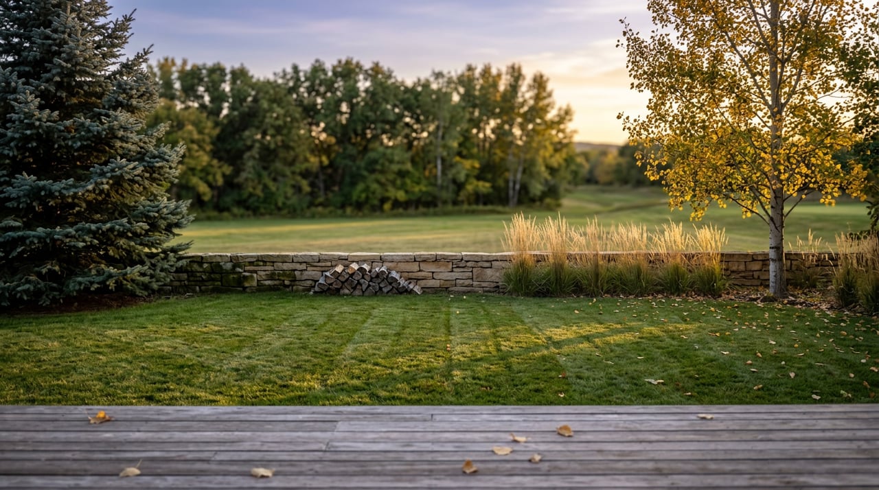
Late September in Applewood still gives you evening light past six and cool enough air that a walk along the golf course edge doesn't feel like a chore. The mountains behind the 16th fairway are the kind of backdrop that gets less generous once the days shorten, and the Coors ponds are more pleasant to pass on a dry trail than a slushy one. If this is the first you're hearing about the Applewood Trail, that's not because it's hard to find. It's because a lot of us have spent years treating the golf course as scenery instead of a place with an actual path around it.
That's really the whole shift here. Applewood didn't get a new destination this year so much as it got a new relationship with a piece of ground that was always right there. The course stopped being something you drive past and became something you walk beside, and the trail that makes that possible also happens to be the same trail that puts downtown Golden and the wider Clear Creek network within reach of your own street.
If you're weighing what a neighborhood like this is actually worth to live in, day to day, long after the closing paperwork is signed, this is the kind of detail that tends to matter more than square footage. The Source at SERHANT., led by Golden-based broker Jon Mottern, spends a lot of time walking these same trails and talking with people who already live here about what makes one block feel different from the next. If you're curious how a stretch of pavement like this fits into the bigger picture of buying, selling, or simply understanding your corner of Applewood, Work With Us.