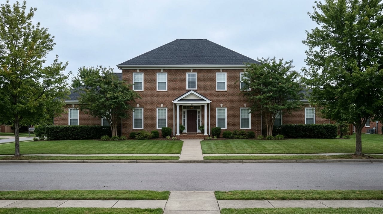
From the ranch streets of Paramount Heights, the foothills view is the whole reason the neighborhood exists. Below the hill, past the split-levels and the mature trees that have had seventy years to grow in, sits the calm rectangle of Crown Hill Lake, ringed by paved trail and geese. It reads as one continuous piece of public land, city park end to end. It isn't. The water itself, the acre of lake Paramount Heights has been looking at since builders started selling these homes on the view in 1956, belongs on paper to the cemetery next door.
That single fact rearranges a lot of what looks obvious about the park below the neighborhood.
A Farm, Then a Cemetery, Then Almost a High-Rise
The land started as a homestead. Brothers Henry and William Lee settled the property in 1860, growing produce for the mining camps up in the mountains and planting the area's first apple orchard. They founded the Agricultural Ditch Company to move water off Clear Creek onto their fields, and that same ditch, rebuilt and renamed over the decades, still does the job today. In 1908, Henry Lee sold 180 acres of the land to create Crown Hill Cemetery, and the cemetery has drawn water from that ditch into Crown Hill Lake ever since, using it to irrigate the grounds.
The rest of the property stayed open into the 1970s, by which point Wheat Ridge and Lakewood had grown up around it. In 1972, someone floated a plan to put high-rise residential and commercial development on what was left of the parcel. Neighbors organized against it, and that same year Jefferson County voters created the county's Open Space Program specifically to keep the land from disappearing under buildings. By 1978, the county, Wheat Ridge, and Lakewood had jointly purchased 168 acres from the Crown Hill Association, and Crown Hill Open Space Park was born, later folded into what Jefferson County Open Space still manages today.
Paramount Heights was already built by then, its ranches and split-levels finished between 1954 and the early 1970s specifically to sell the foothills view. Which means for a stretch of years, the exact view that sold these homes was one high-rise proposal away from being gone. The park survived. The lake's water did not come along with it. When the county bought the land, the cemetery kept its water rights, and that split has never been undone.
Why the Shoreline Actually Moves
Anyone who has walked the loop across a few different months has probably noticed the water line creeping in or out. It isn't drought and it isn't neglect. A pump house on the lake's east side draws water out for the cemetery's own irrigation needs, and that draw is what causes the lake's level to rise and fall through the year, as Jefferson County's own park page notes. The lake looks like a static park amenity. It behaves like what it legally is, a working irrigation reservoir that happens to have a public trail wrapped around it.
Swimming, wading, and floating are prohibited outright, which makes more sense once the lake is understood as infrastructure rather than recreation water. Fishing is a different story. Colorado Parks and Wildlife stocks the lake with bass, crappie, carp, perch, bluegill, and saugeye, alongside native sunfish and trout, and anglers sixteen and older need a valid state fishing license to cast a line off the ADA-accessible pier on the south shore.
What the Split Actually Means on the Ground
For a Paramount Heights household deciding how to spend a Saturday morning, the practical layout looks like this:
- The main access point is the Garland Trailhead at 9357 West 26th Avenue, with the largest parking lot, clean restrooms, and seasonal drinking water.
- When that lot fills, informal overflow parking is available along 32nd Avenue across from Wheat Ridge High School.
- The trail system runs over 10 miles total, split between roughly 6.5 miles of paved path and 3 miles of natural surface, including the 1.3-mile paved loop around the lake itself and a longer 2.5-mile outer loop closer to the park's perimeter.
- A bike repair station sits at the south end of the lake near the main parking area.
- An equestrian corral occupies the southwest corner, one of the few horse-legal trail systems this close to central Denver.
- Dogs are welcome throughout the main park but must stay leashed.
- The wetlands in the northwest corner, home to Kestrel Pond, are designated a National Urban Wildlife Refuge and close to foot, bike, and dog traffic each spring for waterfowl nesting season, reopening once the birds have finished.
None of this is exotic. It's the same basic infrastructure most Jefferson County open space parks run on. What makes it worth knowing here specifically is that Paramount Heights sits directly above it, close enough that the park functions almost like backyard acreage the neighborhood doesn't have to mow.
The Reason to Walk Down There This Month
Late September into October is when the lake does something the rest of the year doesn't. Migrating Canada geese use the open water as a stopover on their way south, arriving in loose formation and settling onto the lake in numbers that can run into the hundreds at once, filling the air with noise for a few minutes before quieting down to feed and rest. It's a brief show, timed to weather and flight patterns rather than any city calendar, and it happens on water that residents up the hill can see from their own front windows without walking down at all.
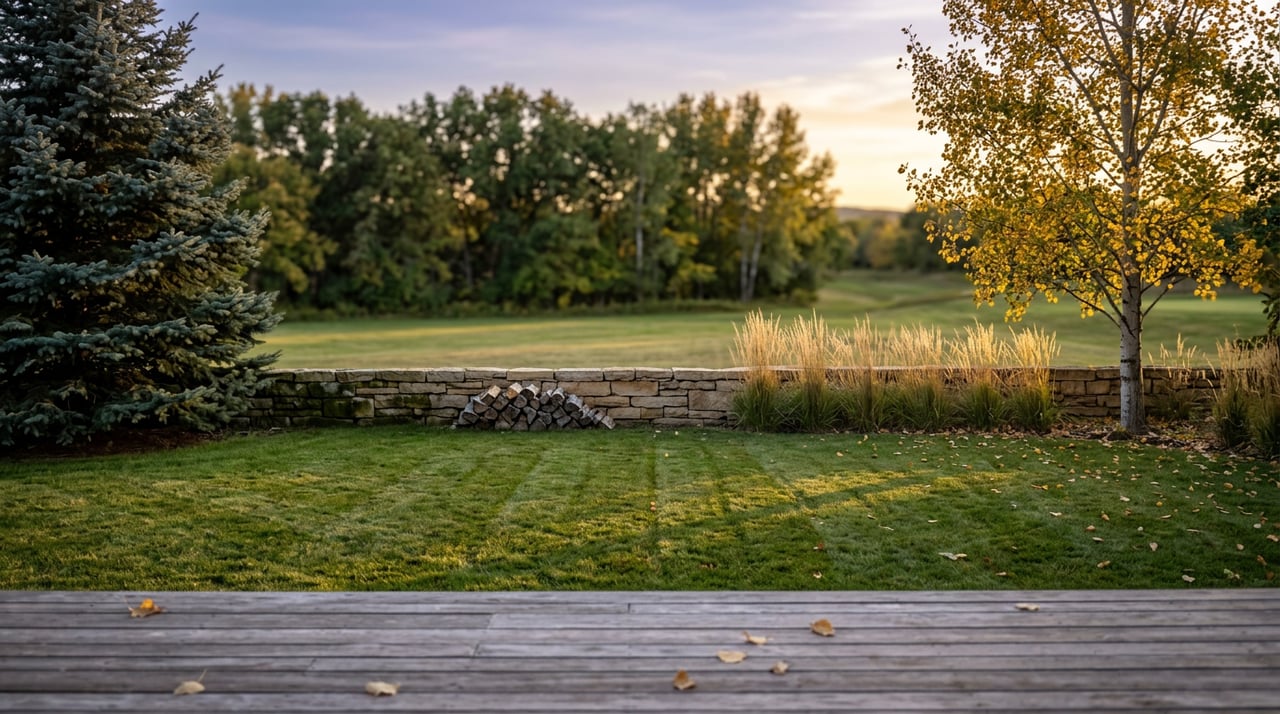
The same fall light that makes the geese worth watching also does something to the cottonwoods ringing the lake and the cattails along Kestrel Pond, the kind of seasonal turn that a lot of Denver's west side parks don't have room for because they're smaller or more manicured. Crown Hill's 242 acres were left in a mostly natural state on purpose, which is part of why the wildlife shows up in the first place.
Paramount Heights bought the view in 1956 on the strength of what sits below it. Almost seventy years later, that lake still isn't the neighborhood's to control, and the geese landing on it this month have no idea whose water rights they're using.
Worth taking the walk before the leaves are gone. If you're curious how a block's proximity to open space like this factors into how a home in Paramount Heights actually lives day to day, that's a conversation Jon Mottern is always glad to have.